
Our Office
Arusha Tanzania
Hotline
+255 689 140 127
Email us
info@arisisafaris.com

Arusha Tanzania
+255 689 140 127
info@arisisafaris.com
Need help with booking? Send Us A Message
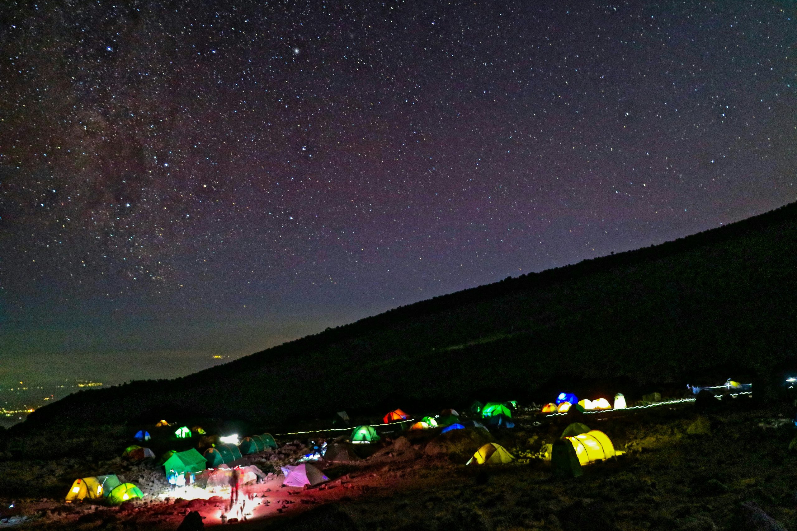
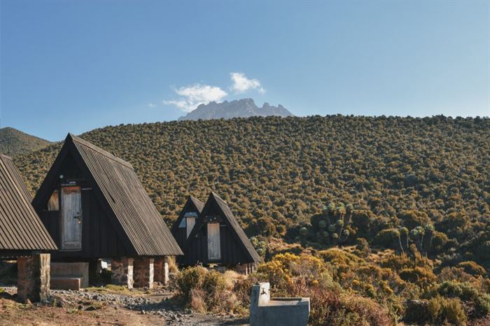
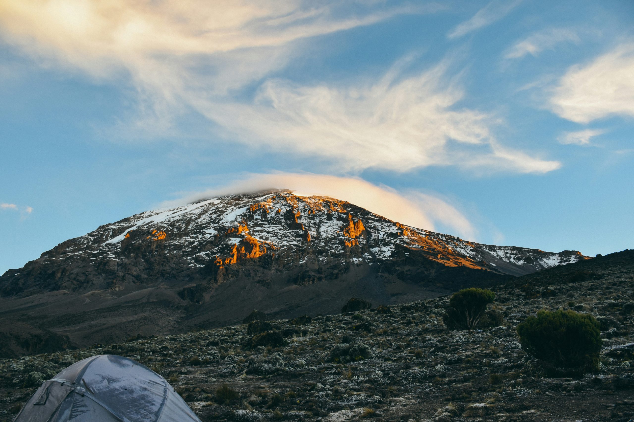
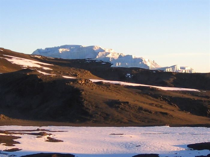
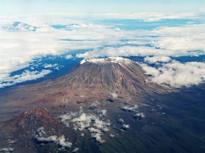
Machame route: this route is considered as most scenic route that approaches the mountain from the south.
Machame route is supposed to be more difficult and expensive compared to Marangu that why it is Nicknamed the "Whiskey" route. The Machame route approaches the summit from the southwest and descends using the Mweka route this route provides impressive views and a variety of habitats which makes it one of the preferred routes.
An ascent via the Machame Route typically takes 6–7 days; it is regarded as one of the best routes to take, both in terms of acclimatization that’s why many regard it as one of the routes that offer summit success rate compared to Marangu.
7 days hike is excellent for acclimatization, with plenty of opportunity to walk high and sleep low.
A challenging journey through 5 different climatic zones with spectacular scenery.
Excellent opportunity to split the pre-summit day climb to allow climbers to recuperate before summiting.
You will be met on arrival and transfer to a standard hotel in Arusha/Moshi, on Bed & Breakfast. This day a pre-trek briefing will be given by your lead mountain guide.
Your trekking equipment will also be checked; you have an option to rent any other needed equipment for your trek.
After breakfast from the hotel, we will drive from Arusha to Machame Gate. After completing the registration you will start the hike to Machame Camp.
Elevation: 1830m/6000ft to 3050m/9950ft
Distance: 11km/7mi
Hiking Time: 5-6 hours
Habitat: Montane Forest
Meals: Lunch and Dinner
After breakfast at the camp we leave the glades of the rain forest and continue on an ascending path, crossing the valley along a steep rocky ridge. The route now turns west onto a river gorge until we arrive at the Shira campsite.
Elevation: 3050m/9950ft to 3850m/12,600ft
Distance: 5km/3mi
Walking Time: 4-5 hours
Habitat: Moorland
Meals: Breakfast, Lunch and Dinner
From the Shira Plateau we continue to the east up a ridge, passing the junction towards the towards the Lava Tower. As we proceed, our course shifts to the south-east, towards the Lava Tower, many call it "Shark's Tooth" (elev 4650m/15,250ft). We reach the second junction shortly after the tower, which leads to the Arrow Glacier. We're presently heading down to the Barranco Camp. Although you finish the day at roughly the same elevation as you started, this day is critical for acclimatization and will help your body prepare for summit day.
Elevation: 3850m/12,600ft to 4000m/13,000ft
Distance: 10km/6mi
Walking Time: 5-6 hours
Habitat: Alpine Desert
Meals: Breakfast, Lunch and Dinner
After breakfast, we leave Barranco and continue on a steep ridge up the Barranco Wall to the Karanga Valley and the junction which connects with the Mweka Trail. We will still hike higher and return to the Karanga Valley as that is how the acclimatization day is spent.
Elevation: 4000m/13,000ft to 4050m/13,250ft
Distance: 5km/3mi
Climbing Time: 3-4 hours
Habitat: Alpine Desert
Meals: Breakfast, Lunch and Dinner
Today we continue up to the Barafu Camp. You've completed the South Circuit, which provides views of the Kibo peak from many different angles. We set up a camp for dinner and overnight here, with views of the summit in the distance.
Elevation: 4050m/13,250ft to 4700m/15,350ft
Distance: 9km/6mi
Hiking Time: 3- 4 hours
Habitat: Alpine Desert
Meals: Breakfast, Lunch and Dinner
Very early in the morning (midnight to 2 am), we begin our hike to the summit. This is the most mentally and physically challenging portion of the trek. The wind and cold at this elevation and time of day can be extreme. We ascend in the darkness for several hours while taking frequent, but short, breaks. Near Stella Point (18,900 ft), you will be rewarded with the most magnificent sunrise you are ever likely to see coming over Mawenzi Peak.
Finally, we arrive at Uhuru Peak- the highest point on Mount Kilimanjaro and the continent of Africa 5895m/ 19340ft.
From the summit, we now make our descent continuing straight down to the Mweka Hut camp site, stopping at Barafu for lunch. The trail is very rocky and can be quite hard on the knees; trekking poles are helpful. Mweka Camp (10,100 ft) is situated in the upper forest and mist or rain can be expected in the late afternoon. Later in the evening, we enjoy our last dinner on the mountain and a well-earned sleep. Mweka Camp (10,100 ft) for dinner and overnight.
Elevation: 4700m/15,350ft to 5895m/19,340ft
Down to 3090m/10,150ft
Distance: 5km/3mi up / 13km/8mi down
Hiking Time: 5-7 hours up / 5-6 hours down
Habitat: Stone scree and ice-capped summit
Meals: Breakfast, Lunch and Dinner
After breakfast, we head down to Mweka Gate with a lunch packet; you will receive your summit certificates, where a vehicle waiting will take you to your hotel in Arusha which will take 2 hours drive.
Elevation: 3090m/10,150ft to 1680m/5500ft
Distance: 10km/6mi
Hiking Time: 3-4 hours
Habitat: Forest
Meals: Breakfast
Today after breakfast your transfer driver will pick you up and drive to Kilimanjaro airport for your return flight, Breakfast.
The inclusions and exclusions vary by tour. Each tour has its specific set of inclusions and exclusions. Please refer to the individual tour page to see what is specifically included in that tour.
Many texts state that Kilimanjaro is “easily accessible”. However, you should not underestimate this mountain. There are no technical mountaineering skills required, but general fitness is necessary. However, the biggest problem for climbers is the effects of high altitude, which seem to be unrelated to fitness, age, or gender.
It is a good idea to start some physical training prior to the trek, which might include aerobic cross training and hiking to familiarise your body with the rigors of the trek. The fitter you are, the easier the climb will be for you. Determination and will power is another important factor.
Please use the main menu on the left to browse through our section “Resources>Health information for Kilimanjaro climbers”.
On camping trips, all equipment will be provided except for a 4-season sleeping bag. You do not need to provide any other camping gear; only personal belongings. See our Kilimanjaro packing list and Safari packing list.
It should be noted that the luggage limit per person on domestic flights is 15-20 kg per person (checked-in and hand luggage).
On your inbound flight, don’t check in items that you absolutely need (such as medicines), as it is not uncommon that checked-in luggage gets misdirected and arrives in Tanzania a couple of days after you. It is better to have such items in your hand luggage.
preference, let us know, and we will offer alternatives from our vast network of company-owned and partner accommodations. Booking with us allows you to enjoy discounted rates as we have special agreements with our partners.
Around 80% of climbers choose the Marangu Route (5 or 6 days), which is commonly referred to as the “Tourist” or “Coca Cola” Route. The rest usually goes for the Umbwe, Rongai, or Machame Route (6 or 7 days). The other two routes (Shira and Lemosho) are far less frequented and therefore allow for a more remote and natural experience.
Please note that many of the routes meet on a mid-way point and there are only three routes to the summit.
Please see our route comparison table, read the descriptions of the routes, and ask us if you have any questions.
Kilimanjaro can be climbed throughout the year.
January to March is a very good month with mild temperatures and almost no clouds in the morning and late afternoon. During the day, however, there might be few short rain showers or little snow on the summit. The main rainy season starts end of March and lasts until the end of May. For Kilimanjaro climbers, this means that clouds may block visibility and there might be heavy rains on the lower altitudes and snow on the summit. June, July, and August can be cold, but visibility is usually very good. Temperatures rise in September and October, however, during this time of the year, there is often a belt of mist on the middle altitudes, leaving the summit’s peak through the clouds. November and December usually have perfect visibility in the nights and morning, but short rains during the day and thunderstorms in the late afternoon are common.
For Kilimanjaro climbers, a factor to take into account is the full moon – it is a unique experience to climb the roof of Africa lit under the shining moonlight only without having to use headlights.
Where can I get a visa for Tanzania?
Where in Tanzania is Moshi/Kilimanjaro and how do I get there?
Who will be my guide?
Will I be able to speak to people in English in Tanzania?
The official and spoken languages of the country are Swahili and English. Many people have English as their second language as they were taught this at school. All Tanzanian working in the tourism field can communicate in English.
In the countryside, or when communicating with children, local women, or individuals of lower school education, it might, however, be difficult to speak in English.
It is appreciated by locals if travelers can speak some words in Swahili. A few words are surprisingly easy to master. It is a good idea to spend a few dollars to purchase a Swahili phrasebook.


Arisi Safaris is a tour operation company registered in Tanzania. We do our tours in Tanzania, Kenya, Uganda, Rwanda and other countries in Africa.
Give Us A Call
Drop Us a Line
Office Location
Ut enim ad minim veniam, quis nostrud exercitation ullamco laboris nisi ut aliquip ex ea commodo consequat. Duis aute irure dolor in reprehenderit in